Google’s Waze Partners With Mapping Company Esri to Help City Planners Shape Traffic
In its geographic information system, Esri will offer a live feed of mapped traffic data and alerts based on information crowdsourced from Waze users
Tofi Stoler | 12:37, 11.07.18
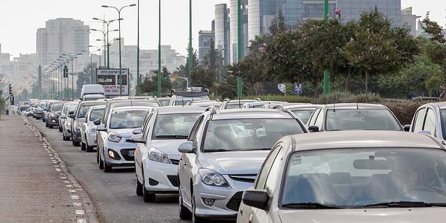
Mobile navigation app developer Waze has partnered with geographic information system company Esri to offer governments and cities real-time traffic and road condition data, the companies announced Tuesday.


For daily updates, subscribe to our newsletter by clicking here.
In its geographic information system, Esri, also known as Environmental Systems Research Institute Inc., will offer a live feed of mapped traffic data and alerts based on information crowdsourced from Waze users. The service will allow city planners and engineers to make informed decisions concerning infrastructure, traffic light locations and timing, and the need for increased police presence, the company said in an announcement.. Photo: Orel Cohen")
No Comments Add Comment